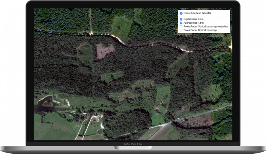
Cloud-free Sentinel-2 basemap
Our ForestRadar Cloud-free basemap uses multispectral optical satellite imagery and Machine Learning (ML) algorithms to provide cloud-free imagery basemap for use in enterprise desktop and web GIS applications.
Key Benefits:
Frequent Data Updates: The basemap is updated every 5 days for areas without cloud cover.
Complete Metadata: Users easily see what is the precise date and time of acquisition for a specific area and which satellite was used.
Extensive History: Users can go back in time to see how a specific area looked like at a different date.
Easy Integration with Enterprise Geographical Information Systems (GIS): Results can be easily added to most desktop and web GIS applications.