Compute
Cloud
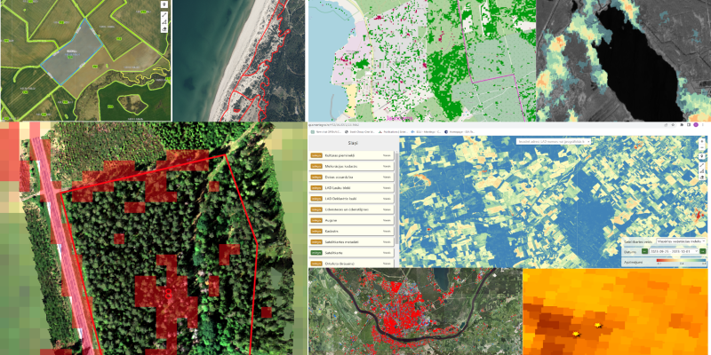
Integrated Earth Observation platform offering automated acquisition, analysis, and publication of satellite imagery and other data types, optimized for large-scale projects with machine learning and cloud processing capabilities.
Read more
Forest
Monitoring App
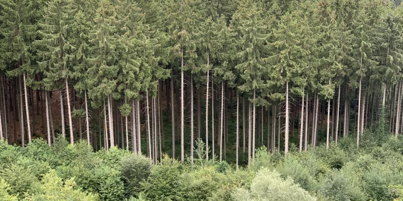
Service utilizing cutting-edge satellite imagery and advanced vegetation indexes to offer precise detection and monitoring of forest health risk and changes.
Read more
Agriculture
App
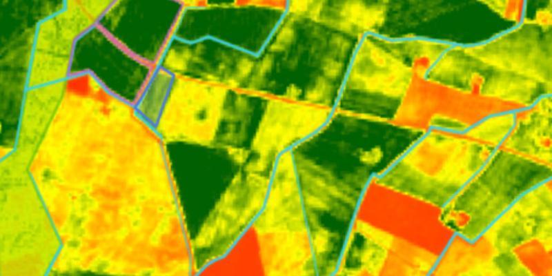
Cloud-free Sentinel-2 imagery service, offering automated, up-to-date satellite imagery with extensive historical data since April 2017.
Read more
Cloud-free
Sentinel-2 basemap
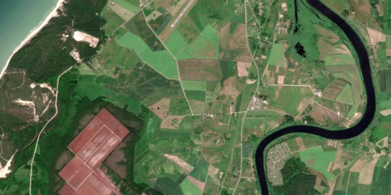
Cloud-free basemap that combines multispectral optical satellite imagery with Machine Learning algorithms to offer a frequently updated, cloud-free imagery basemap for enterprise GIS applications.
Read more
Flood
Monitoring App
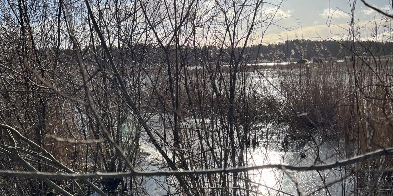
Service automating flood detection and monitoring for gas pipelines using satellite data and LIDAR, with results available through GIS and alerts.
Read more
Fire
Monitoring App
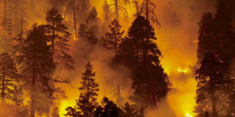
Service integrating terrestrial and satellite image processing for early wildfire detection and management, offering advanced mapping and alert systems to enhance forest fire preparedness and response.
Read more
Automated
Change Detection
Automated technology for weekly change detection:
clear-cuts, wind-falls, fires, floods
Cloud-free
Basemap
The most actual satellite imagery basemap: metadata, all European countries, preprocessed to run ML algorithms
Weekly
Alert Service
Weather independent data from radar satellites:
always see your forest through clouds